Soggy Saturday: Heavy Rain and Flood Risks to Impact Memphis Valentine’s Day Plans
Wet Weather Takes Center Stage for the Holiday
Memphis residents planning a romantic evening out for Valentine’s Day should prepare for more than just a little atmosphere. A significant weather system is moving through the Mid-South today, Saturday, February 14, 2026, bringing heavy rainfall and the potential for localized flooding. While the day may start with only a few damp patches, the forecast suggests that umbrellas and indoor backup plans will be essential by sunset.
Morning and Afternoon Timing
The early hours of Saturday are expected to see light, intermittent rain showers across the Bluff City. However, there is a silver lining for those running last-minute errands; meteorologists predict a brief break in the precipitation around midday. This window of relatively dry weather during lunchtime will be the best opportunity for outdoor activities before the more intense system arrives later in the day.
By late Saturday afternoon, the atmosphere will shift as heavier rain begins to move in from the southwest. This transition marks the start of a prolonged period of wet weather that is expected to saturate the region through the night.
Evening Forecast and Heavy Downpours
The primary concern for today is the evening and overnight period. The heaviest rainfall is forecasted to occur after sunset, coinciding with peak dinner and event times for Valentine’s Day celebrations. Residents can expect the following conditions:
- Rainfall Totals: Total accumulation is expected to range between 2 and 3 inches by Sunday morning.
- Wind Conditions: Sustained winds from the southeast will hover around 9 mph, but gusts could reach as high as 27 mph during heavier downpours.
- Temperatures: Despite the rain, it remains a relatively mild February day. Highs are expected to reach the upper 60s, specifically around 63°F to 69°F, while the overnight low will dip to approximately 51°F.
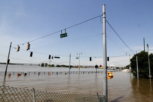
Flood Warnings and Safety Reminders
The National Weather Service has noted a slight risk of excessive rainfall, which could lead to ponding on roadways and isolated flooding in low-lying areas. Small streams and urban drainage systems may struggle to keep up with the volume of water expected tonight. Local authorities advise drivers to use extreme caution, particularly after dark when floodwaters are harder to see. If you encounter a flooded road, remember the golden rule: turn around, don't drown. Heavy rain is expected to continue into early Sunday morning before finally tapering off by lunchtime tomorrow.