Bundle Up: A Shivering Start Gives Way to Sparkling Sunshine in Memphis
A Crisp February Morning in the Bluff City
Memphians waking up this Thursday, February 5, 2026, are greeting one of the more significant cold snaps of the season. According to the latest reports from the National Weather Service in Memphis, subfreezing temperatures have firmly taken hold of the Mid-South. Residents can expect a very cold start to the day, with morning temperatures hovering in the low 20s and high teens. If you are headed out for the early morning commute along I-40 or I-240, be prepared for frost-covered windshields and the need for heavy winter layers.
Afternoon Outlook: Maximum Sun, Minimum Heat
While the morning bite is sharp, the afternoon promises a visual treat with clear, cloudless skies. The forecast for the midday hours shows high confidence in a completely dry day with zero percent chance of precipitation. Despite the abundance of sunshine, the mercury will struggle to climb, peaking at a high of approximately 42 degrees Fahrenheit. This is slightly cooler than the historical average for early February, making it a perfect day for indoor activities or a brisk, sunny walk for those prepared with scarves and gloves.
Wind and Sky Conditions
Winds will remain a factor throughout the day, primarily blowing from the north at 5 to 10 miles per hour, with occasional gusts reaching up to 18 miles per hour in more open areas. These northerly breezes will keep the real-feel temperature lower than the actual thermometer reading. However, as we move into the late afternoon, the wind is expected to shift slightly, becoming lighter as a high-pressure system settles over the region.
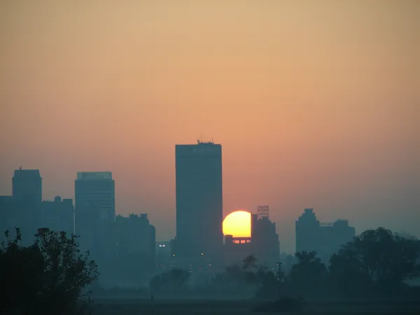
Evening and Overnight Forecast
As the sun sets at approximately 5:32 PM, temperatures will drop quickly once again. The evening will remain mostly clear, providing excellent visibility for stargazing, though the air will turn chilly almost immediately after dusk. Overnight lows are expected to settle in the lower 30s. The good news for the weekend is that this cold front is the precursor to a warming trend, but for tonight, keeping the heat on and ensuring pets are indoors remains a priority.
- Morning Low: 19°F - 24°F
- Afternoon High: 42°F
- Rain Chance: 0%
- Wind: North at 9 mph, gusting to 18 mph
- Warnings: Subfreezing temperature advisory for early morning commuters.